


Software that connects field capture, GNSS positioning, and office-ready geospatial deliverables.

The ROLAVI software ecosystem connects the field and the office, helping surveyors capture data, verify projects, process GNSS information, visualize results, and prepare professional deliverables from a unified workflow.

Available exclusively for ROLAVI usersROLAVICam software image

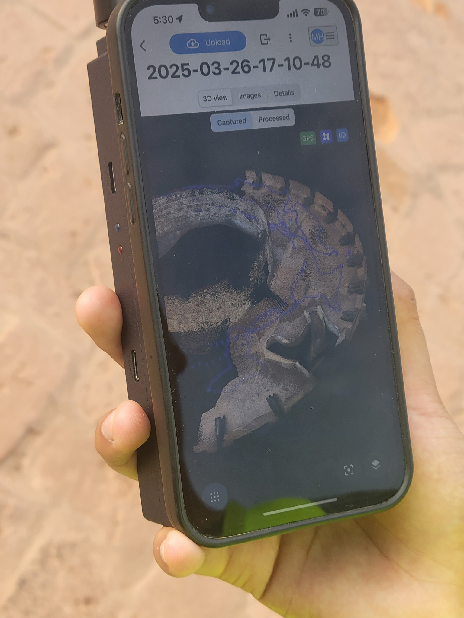
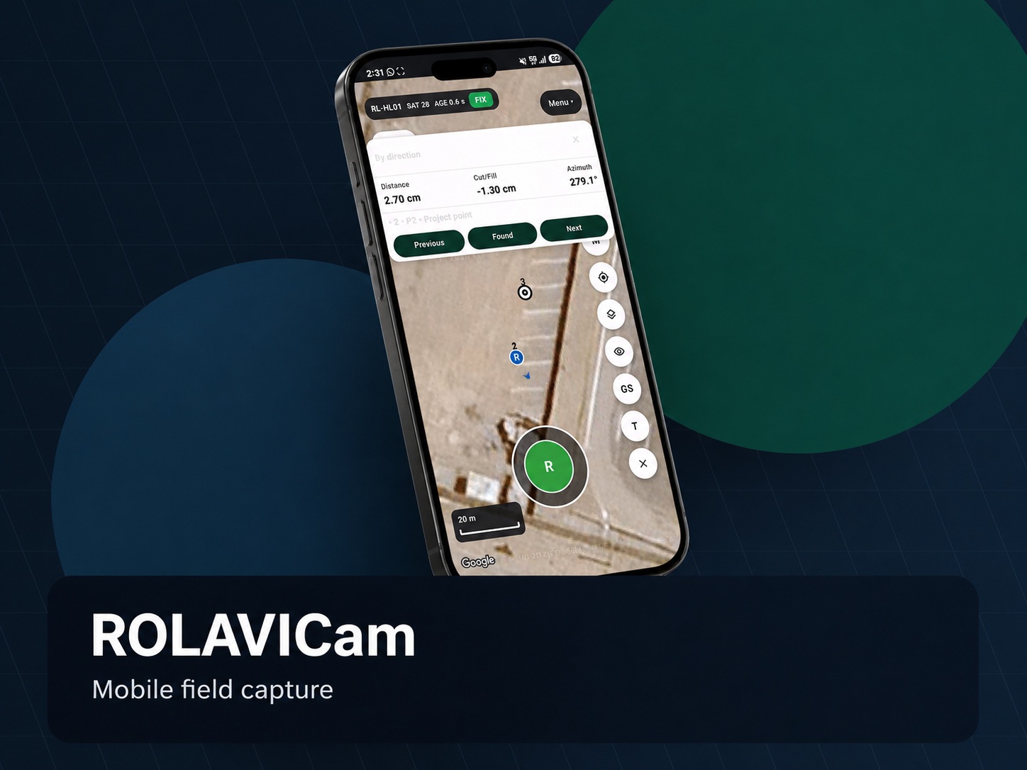
ROLAVICam

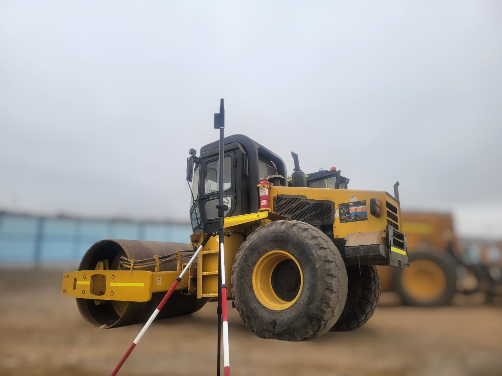
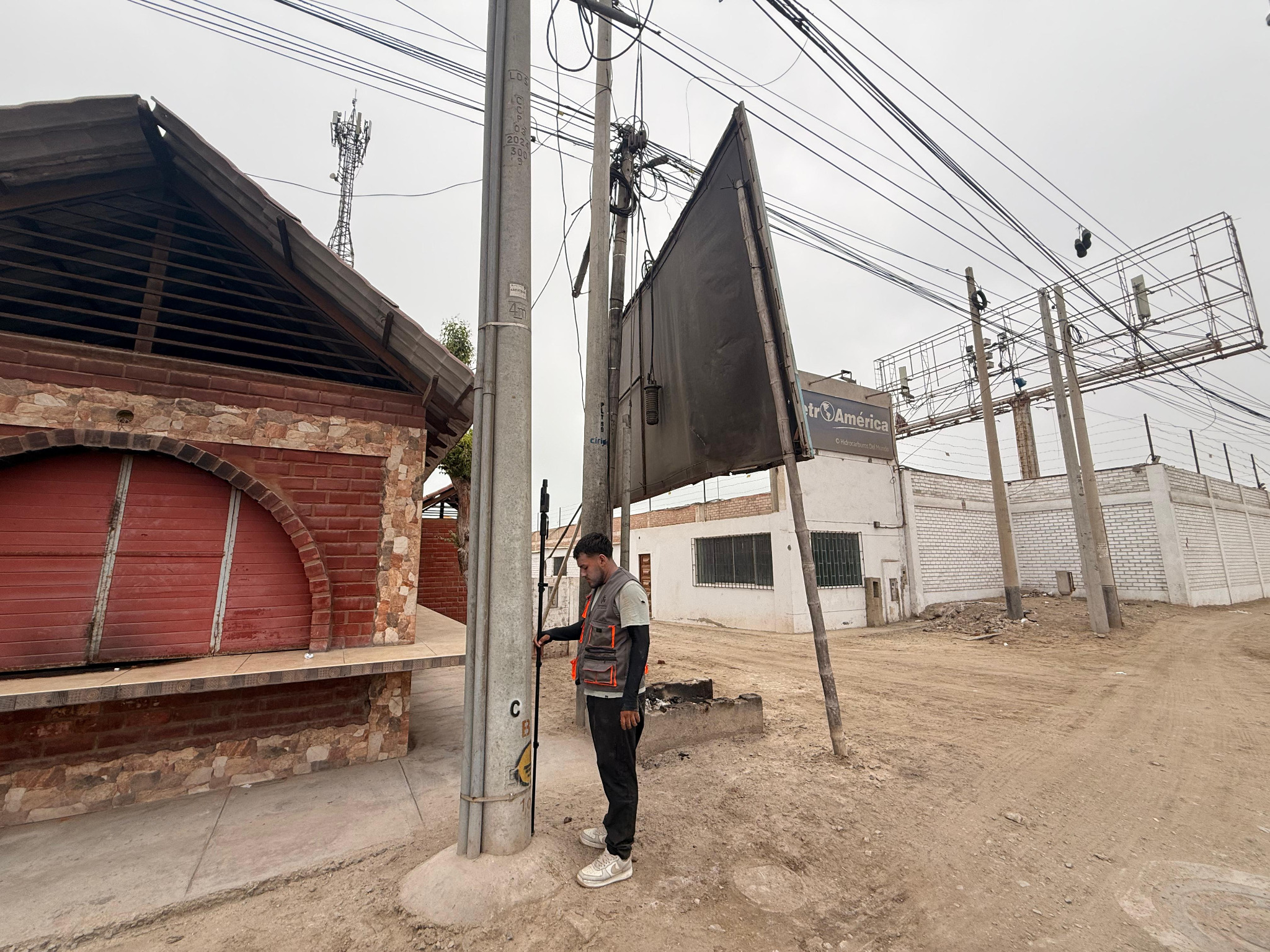
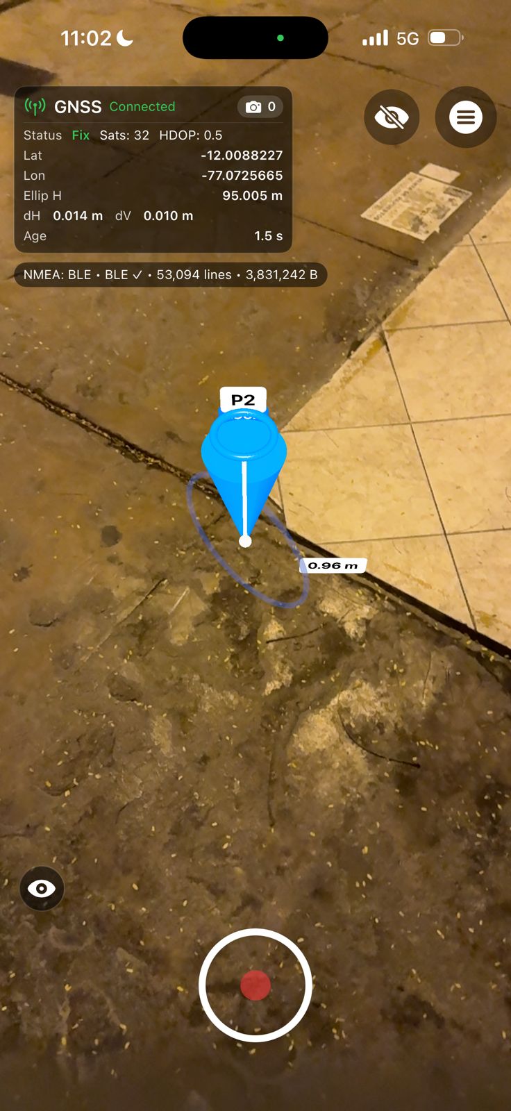
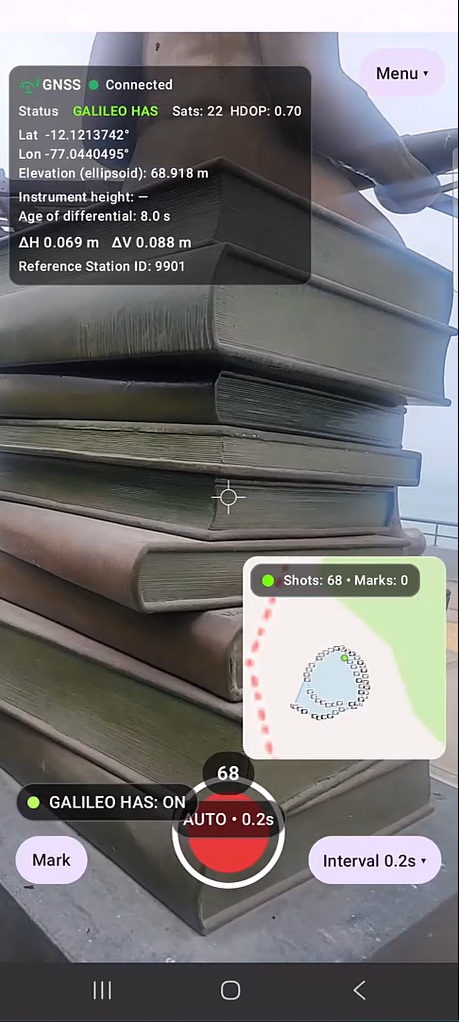
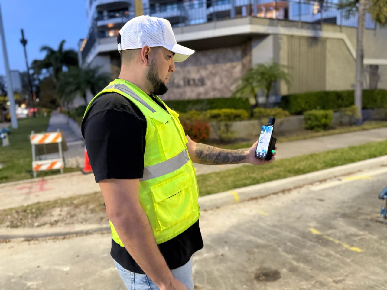
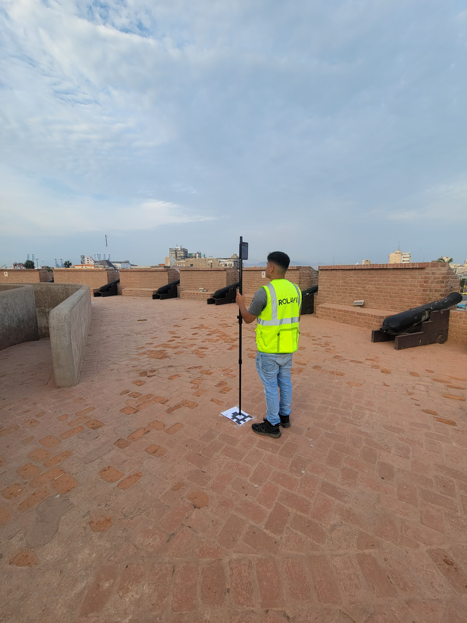
ROLAVICam enables mobile capture for photogrammetry, videogrammetry, and field evidence documentation, helping teams record project conditions directly on site.

  • Visual field documentation
  • Project evidence capture
  • Video tutorials and manuals
  • Connection with the ROLAVI ecosystem
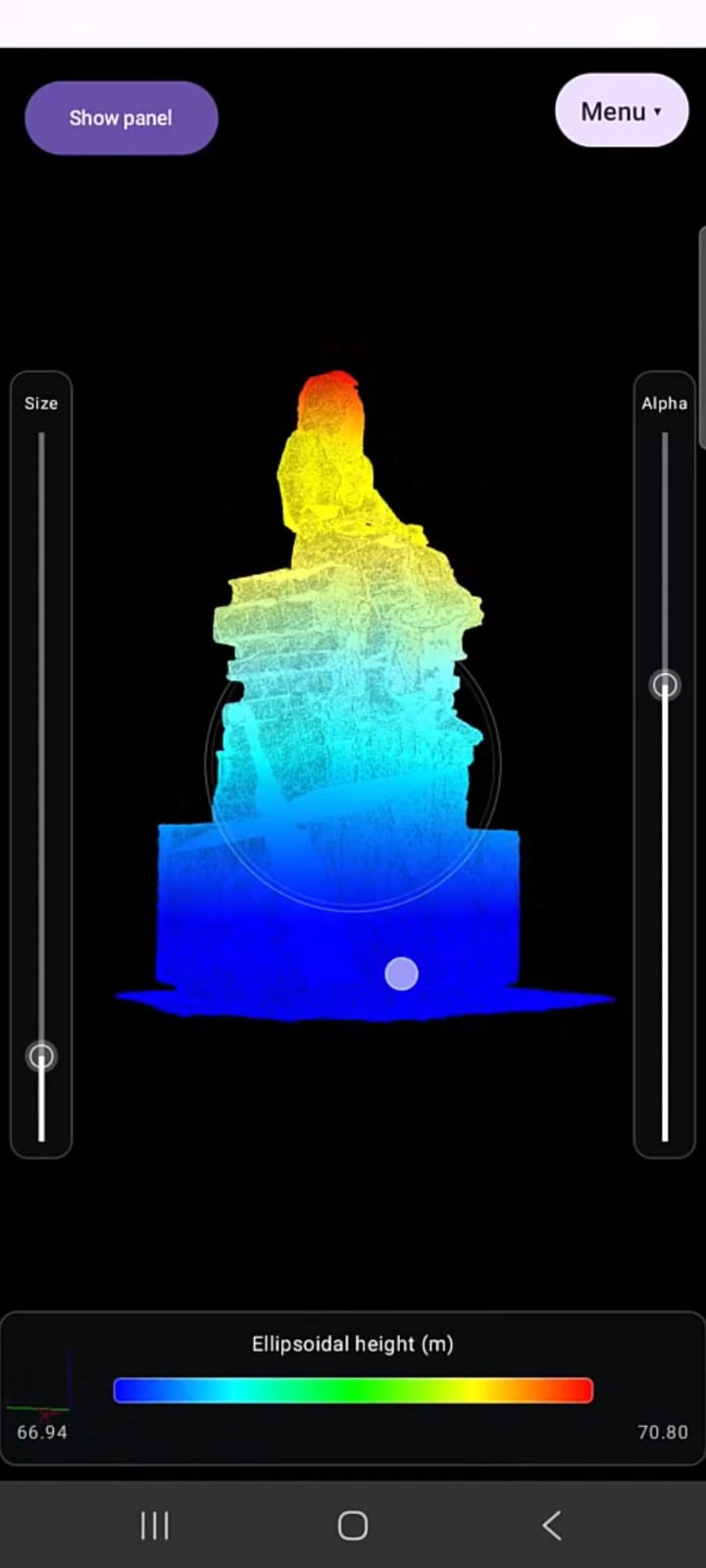
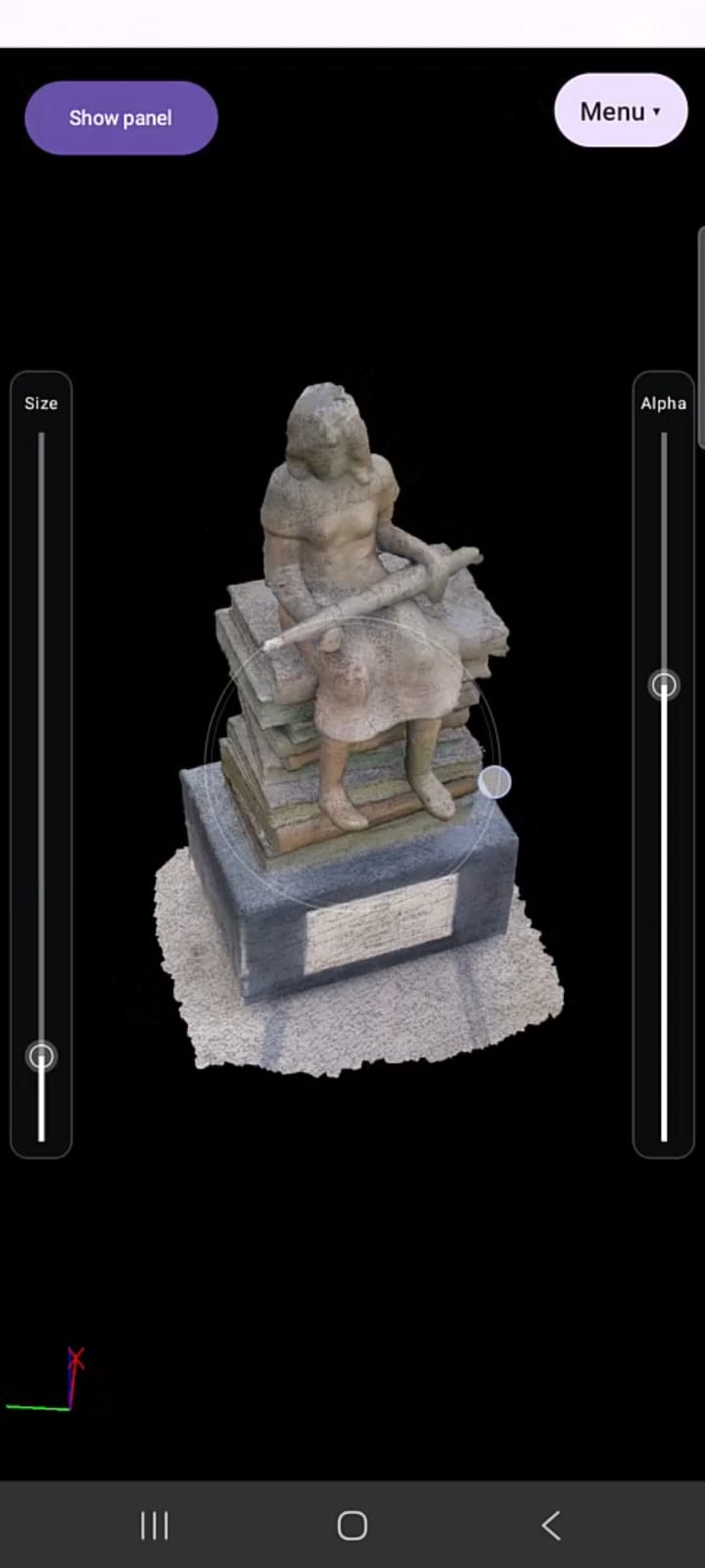
Coming soonROLAVIScan software image

ROLAVIScan

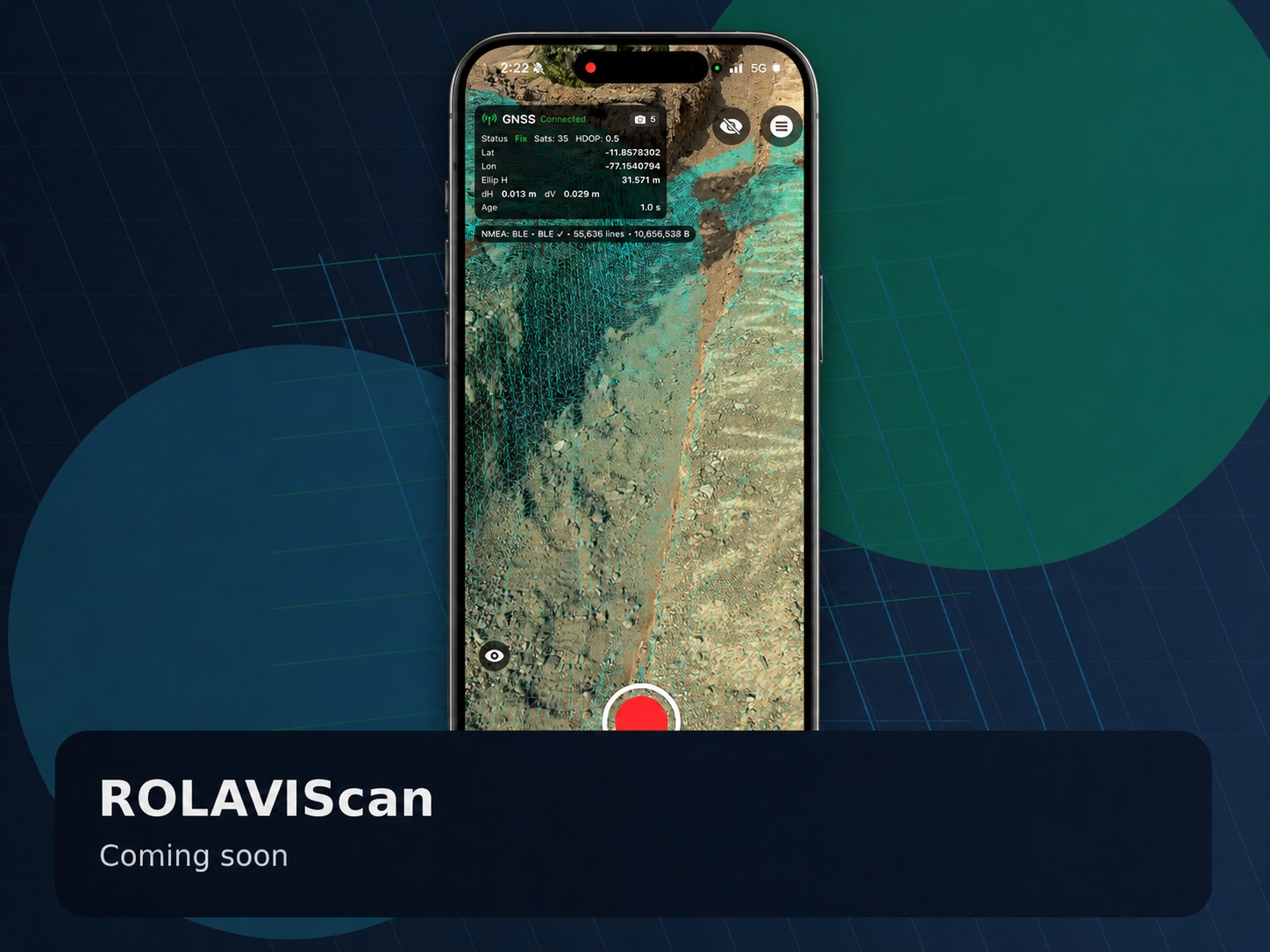
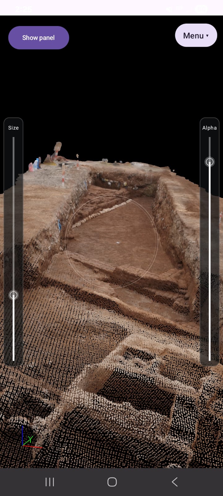
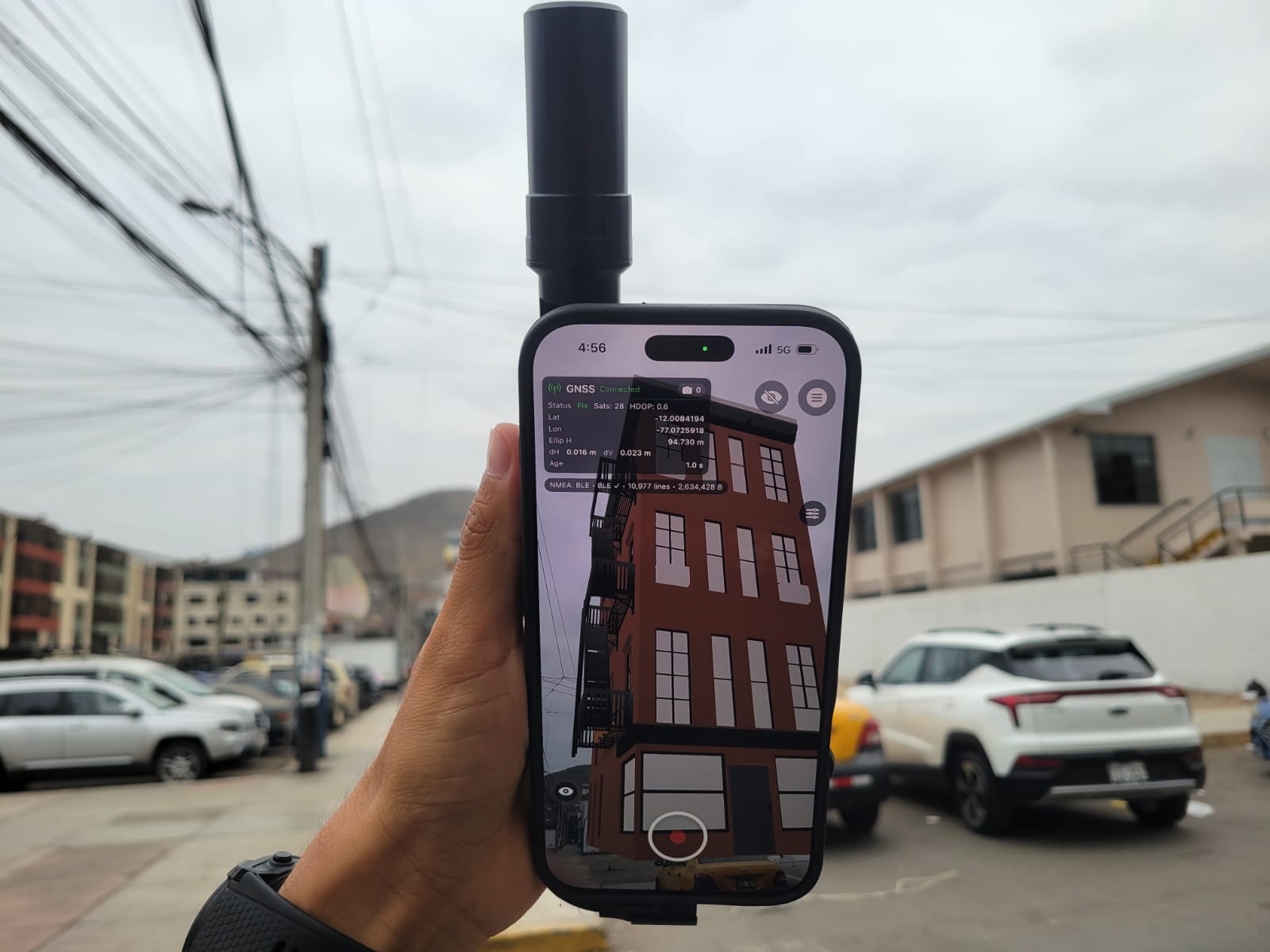
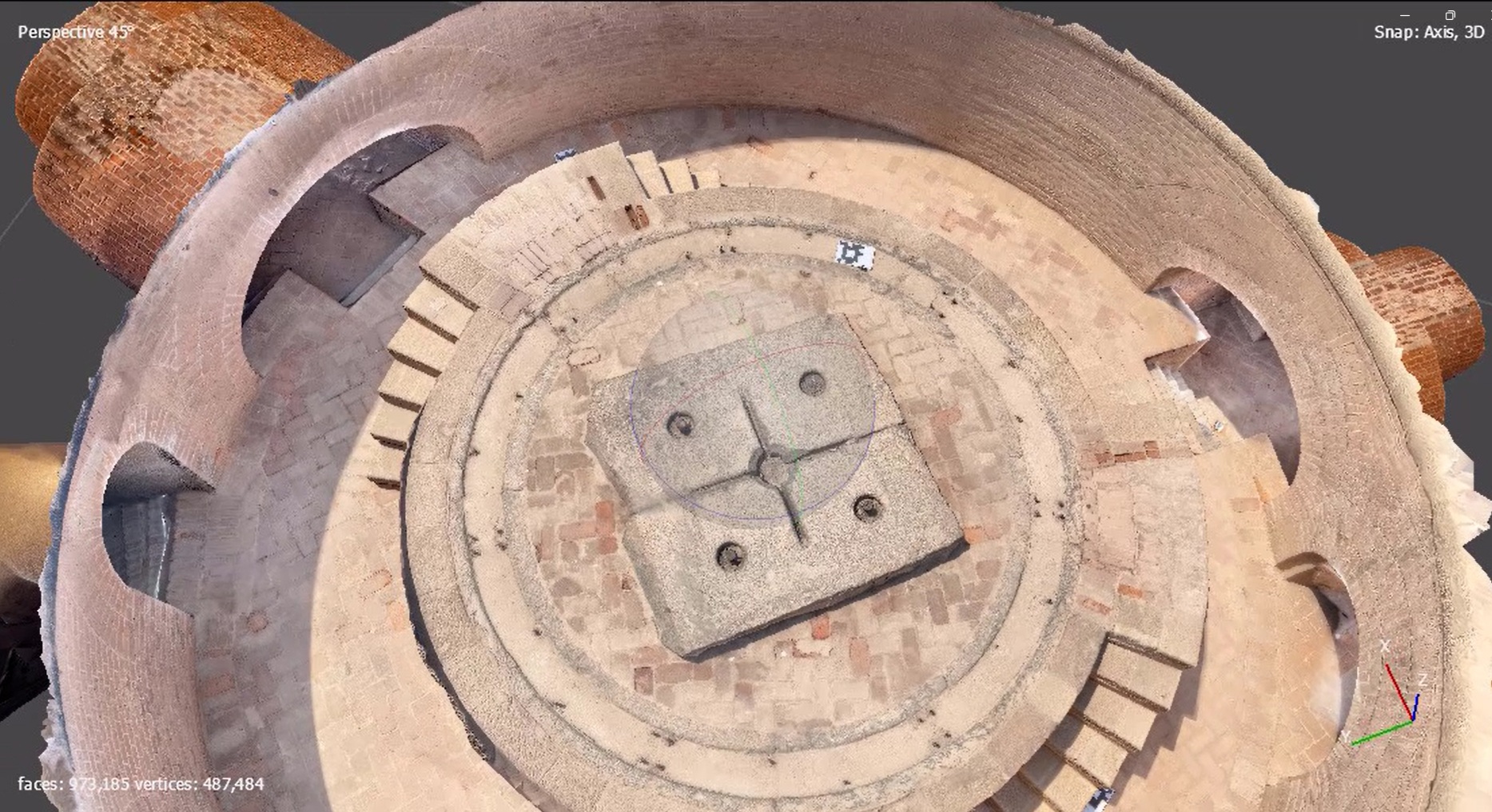
ROLAVIScan is the scanning workflow section of the ROLAVI ecosystem, designed to support mobile 3D capture, project visualization, and future AR-based field documentation. This app can be used for 3D documentation, mobile scanning workflows, product education, project previews, and lead generation for customers interested in advanced geospatial visualization.

  • 3D documentation
  • Mobile scan workflow
  • Future product
  • Send us an email if you have any questions
Platform workspaceROLAVI GEOStudio software image

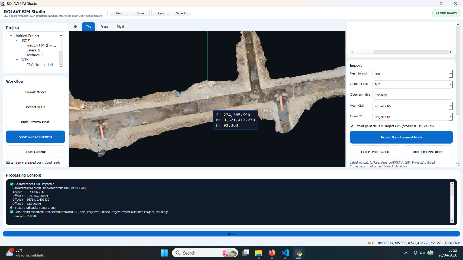
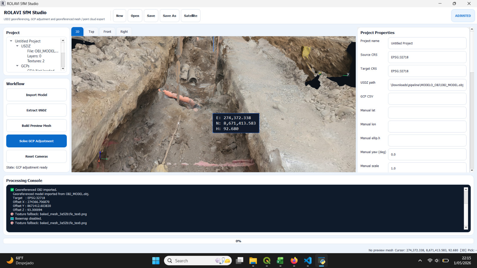
ROLAVI GEOStudio

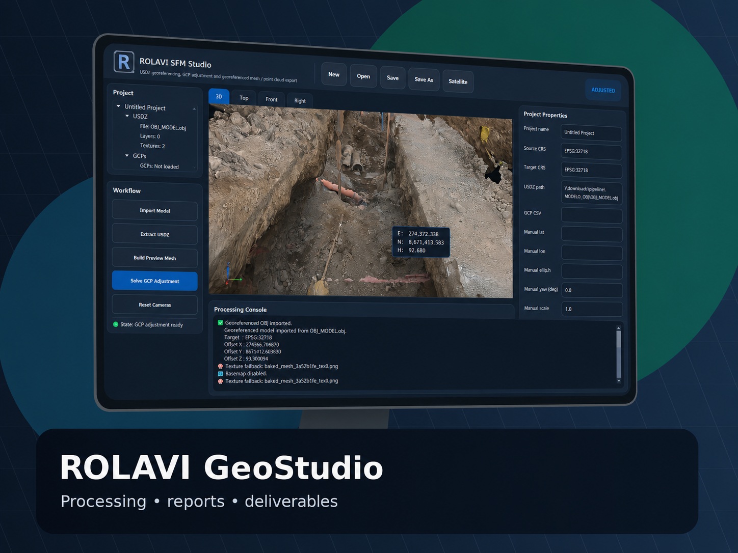
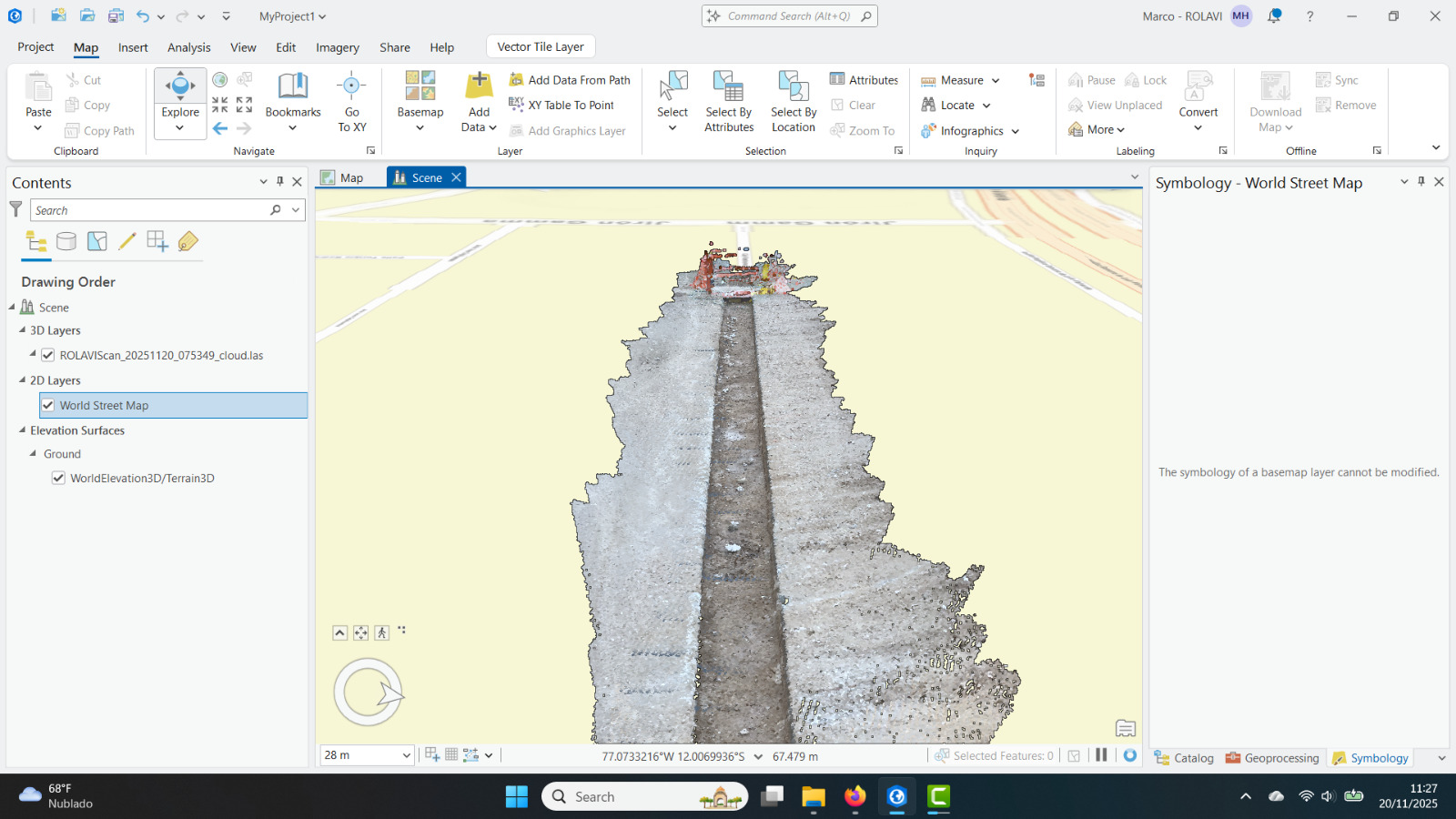
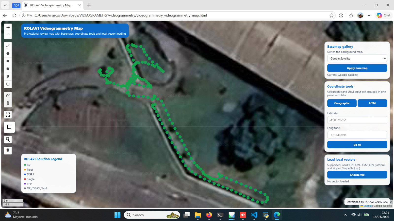
Office software story for project review, field data organization, reporting and deliverable preparation.

  • Project dashboard
  • Data review
  • Report preparation
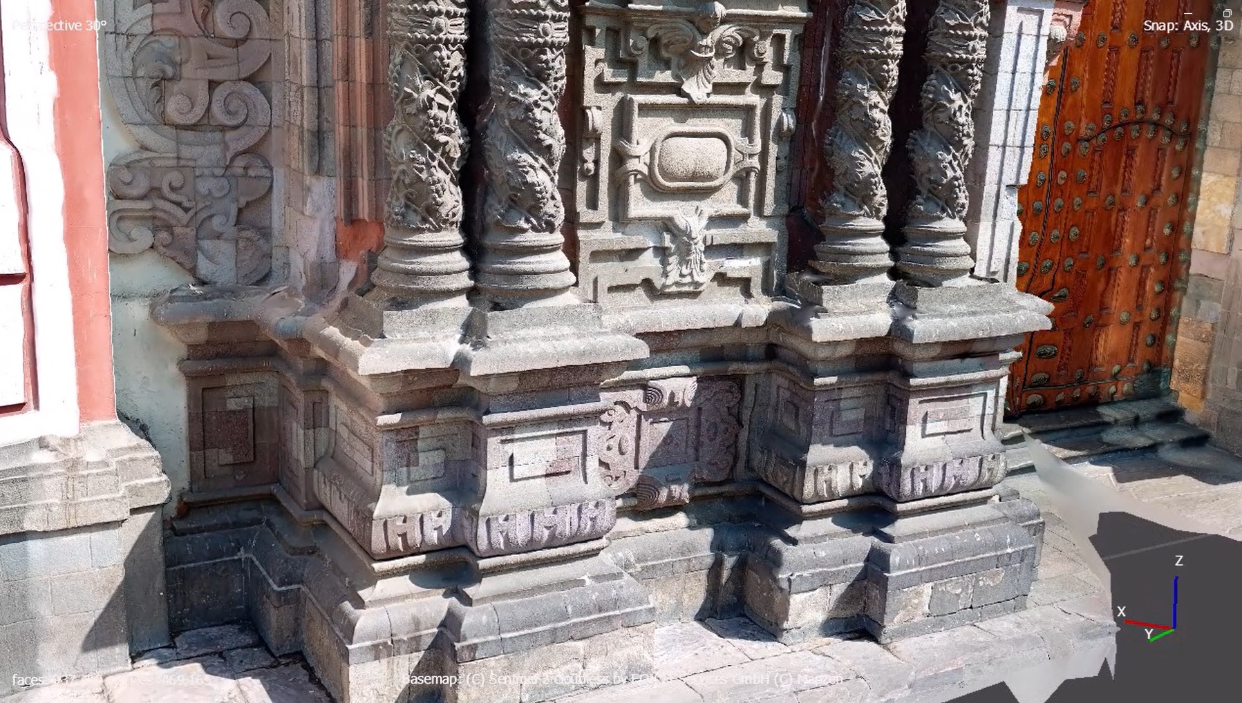
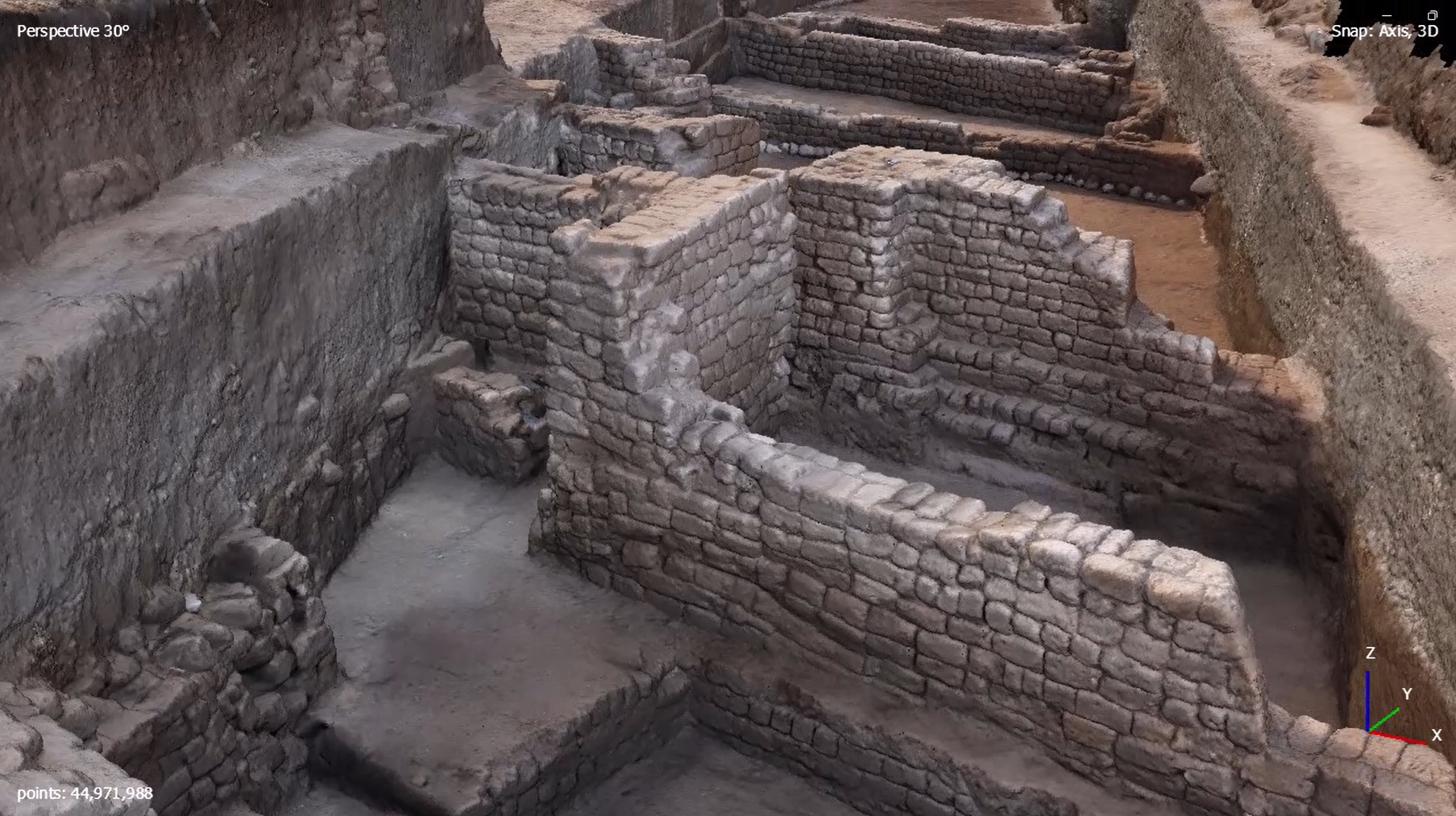
  • Textured/Point Cloud workflow support
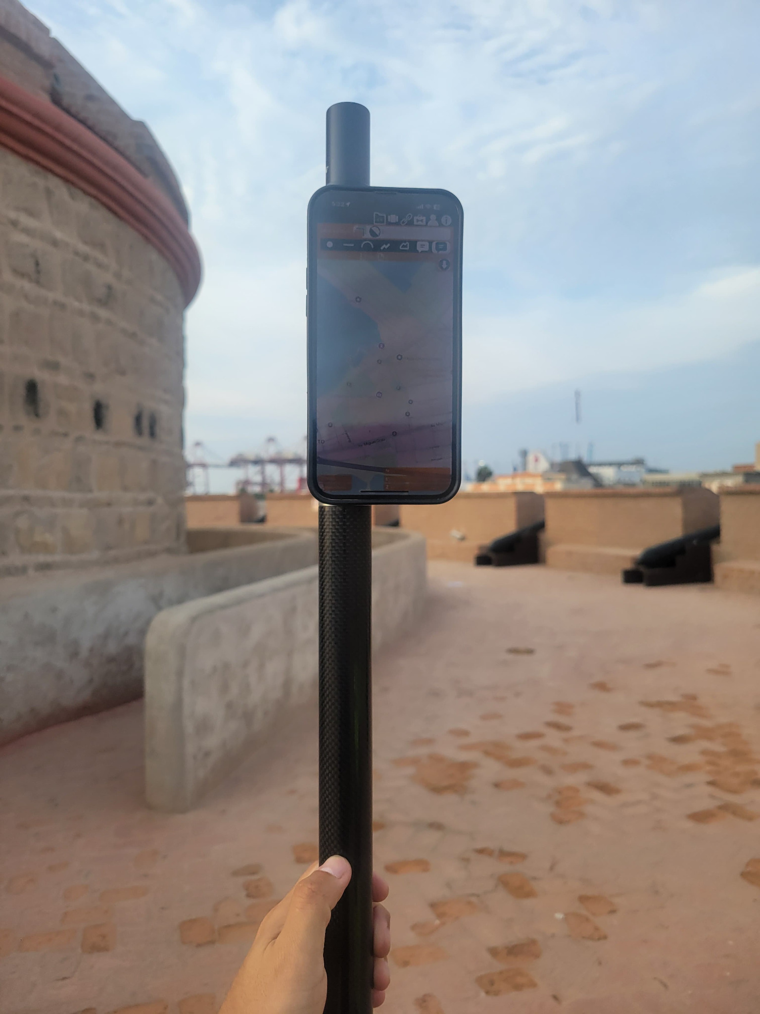
Partner softwareTcpGPS software image

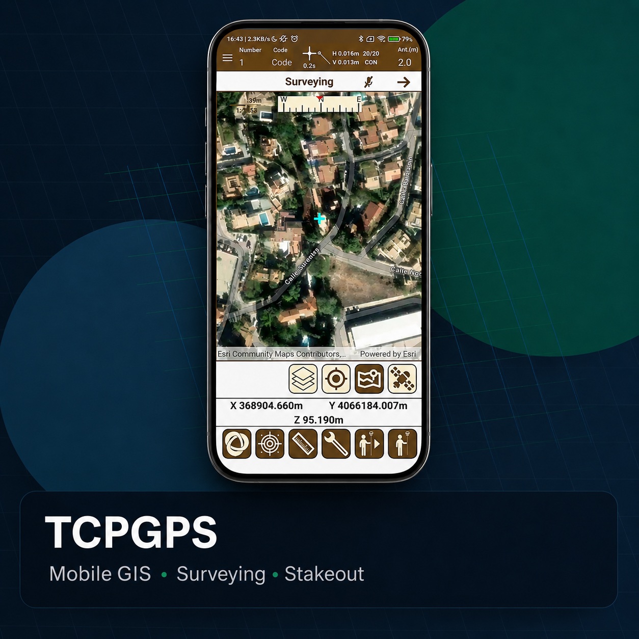
TcpGPS

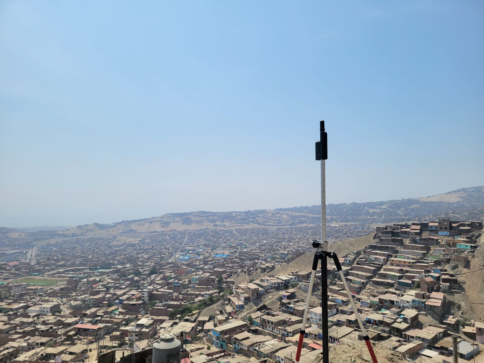
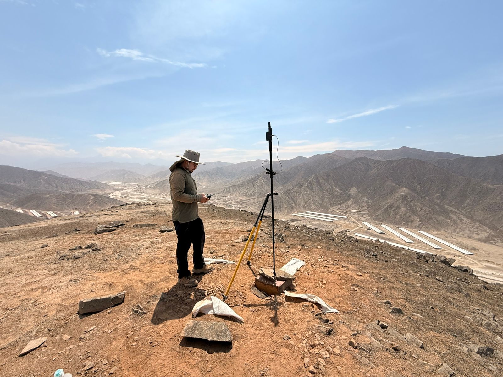
TcpGPS is a professional field application for GNSS surveying, data collection, stakeout, and topographic workflows. It works with high-precision GNSS receivers and helps survey teams manage field projects, collect points, and perform layout operations efficiently.

  • GNSS survey workflow
  • Stakeout and collection
  • Field-ready project management
  • Compatibility with high-precision GNSS receivers
Partner software FreeSW Maps software image

SW Maps

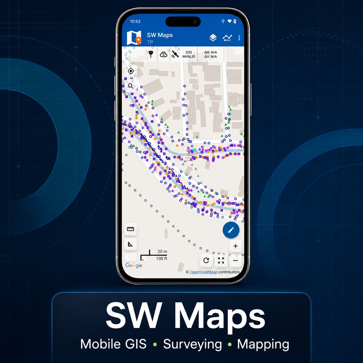
SW Maps is a free mobile GIS and mapping application for collecting, viewing, presenting, and sharing geographic information. It can be used for GNSS surveys, attribute collection, shapefile visualization, and field mapping workflows from a phone or tablet.

  • GIS mobile collection
  • Attributes and photos
  • Map-based field work
  • Export for GIS teams
Partner softwareApglos Survey Wizard software image

Apglos Survey Wizard

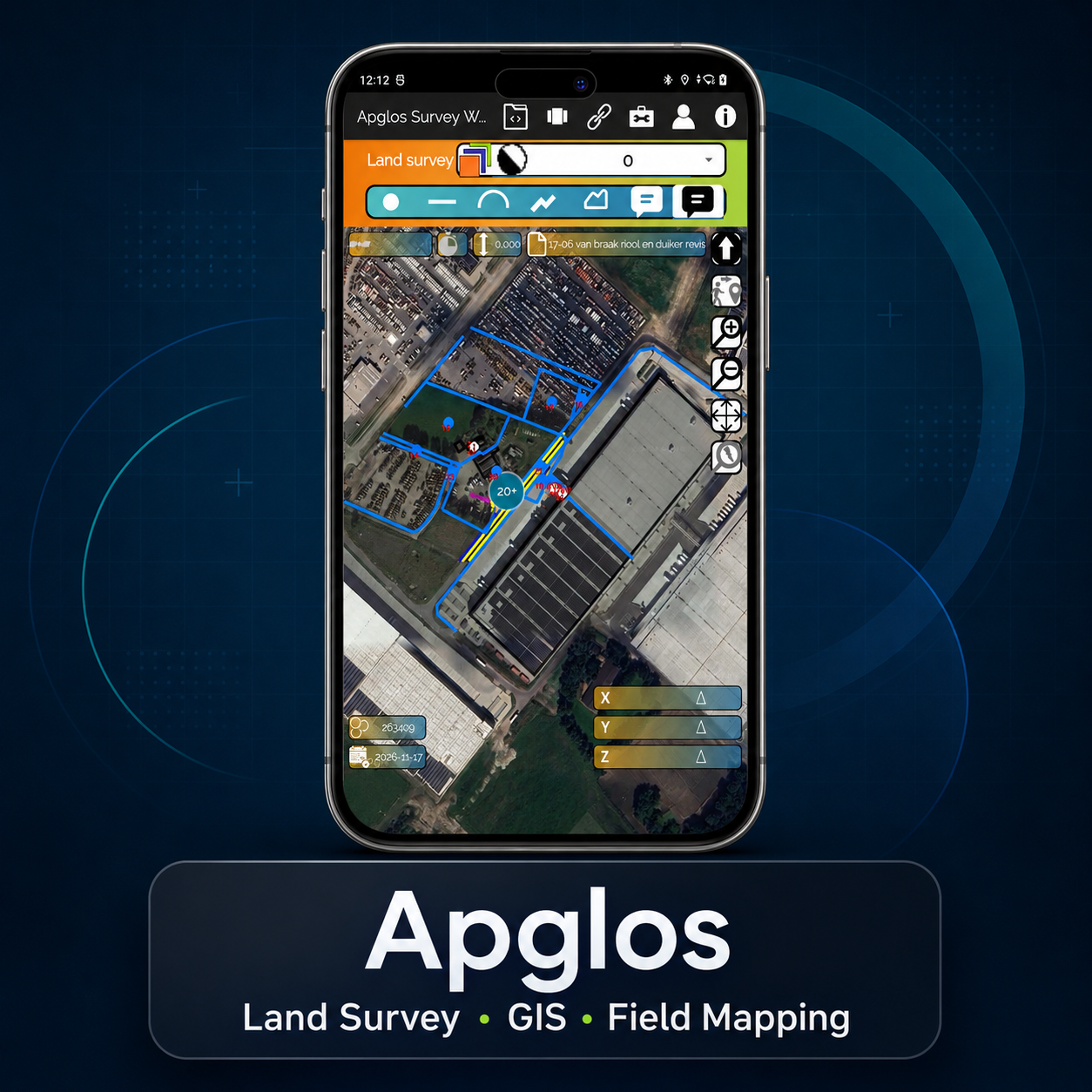
Apglos Survey Wizard is a land surveying application designed for field measurements, mapping, and stakeout workflows using external GNSS receivers. It supports users who need practical centimeter-level surveying tools for field data collection and project verification.

  • Land survey workflow
  • Mobile GIS and mapping
  • Stakeout and field guidance
  • Compatible partner field app

Software workflow

Keep the story simple: capture, check, process, deliver.

This page should grow with real screenshots, tutorial videos and feature lists. Avoid overloading the customer with technical jargon before they understand the workflow.

A

ROLAVICam

ROLAVICam supports mobile visual documentation, jobsite evidence, photogrammetry, videogrammetry, surveying, and stakeout workflows from a single field-ready platform.

B

ROLAVIScan

ROLAVIScan is a coming-soon expansion designed for mobile scanning, photogrammetry, surveying, stakeout, AR point capture, AR stakeout, and immersive augmented reality visualization.

C

ROLAVI GEOStudio

ROLAVI GEOStudio is the office workspace for organizing projects and preparing professional deliverables, including RINEX conversion, GNSS post-processing, PPK drone mapping, Stop & Go workflows, geotagged videogrammetry, camera and cellphone photogrammetry geotagging, and georeferenced textured 3D models ready for ROLAVIScan and ROLAVIAR augmented reality visualization.

D

TcpGPS / SW Maps / Apglos

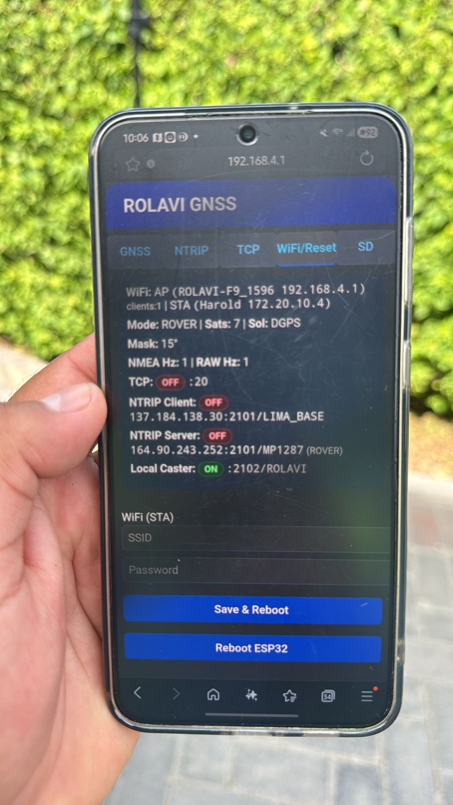
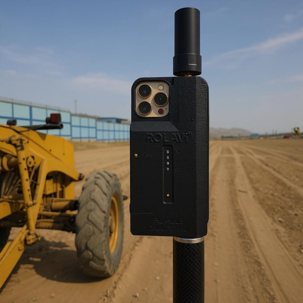
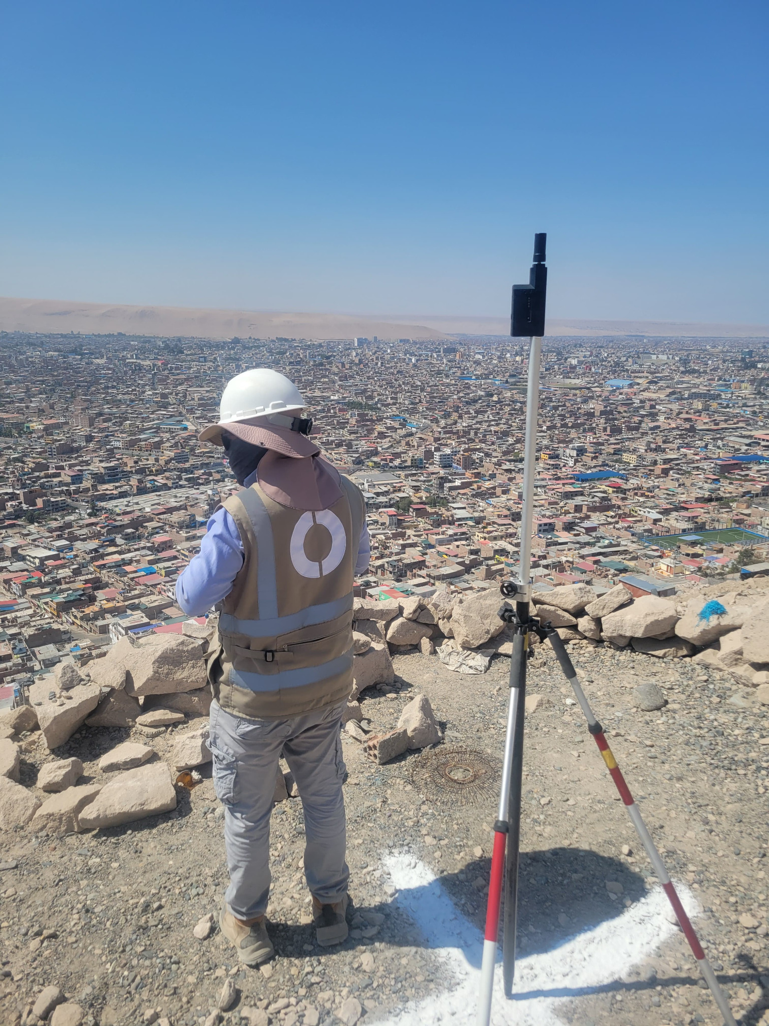
ROLAVI works with compatible field applications for topography, surveying, stakeout, and mobile GIS workflows. Partner apps such as TcpGPS, SW Maps, and Apglos extend the field experience on Android and iOS, offering powerful tools for data collection, project control, and high-performance surveying operations.