


Android · Mobile surveying
ROLAVICam
Field capture, GNSS and augmented reality.
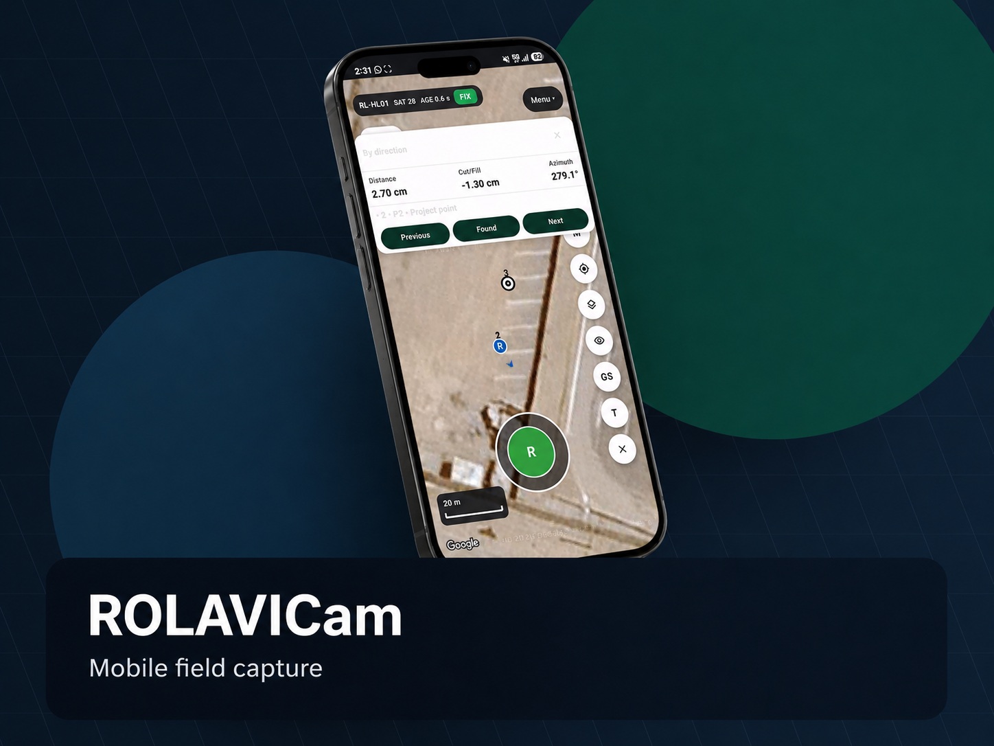
ROLAVICam transforms a mobile device into a practical field companion for surveyors and geospatial teams. It supports visual documentation, GNSS-connected workflows, topographic point capture, stakeout support, field evidence and mobile project records.
ROLAVICam
Tools for your workflow
- Mobile field capture for surveying and geospatial documentation
- Designed to work with ROLAVI GNSS receivers
- Useful for topographic surveying, field notes and visual evidence
- Supports workflows for photo, video and project documentation
- Can support stakeout and AR-assisted field visualization workflows
- Ideal for construction verification, road projects and asset records
- Connects the field team with the ROLAVI processing ecosystem
 ROLAVICamVideo demonstration
In practice
Augmented reality in the field.
See how to import, view and measure features in the field with ROLAVICam’s augmented reality tools.
Resources to get started
Put your next project in motion.
Explore the software and field resources from ROLAVI.